Hours & conditions
Sunrise to sunset (official Steep Rock Association preserve page). Hours source ↗
Notice review: The official preserve page lists sunrise-to-sunset access and seasonal trail postings. No current closure notice was found on that page at review; access is not guaranteed, so check posted notices before entry. Source ↗
Official sources checked 2026-11-21 08:13 EST. This is a dated review, not a live open/closed signal.
Research-based guide · no field visit claimed
Is this the right hike?
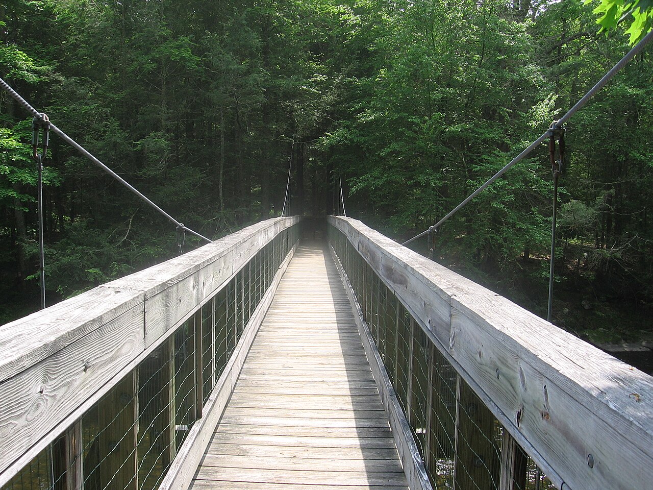
Steep Rock Preserve lets you choose a flatter Shepaug River walk, a historic railroad tunnel, or a climb to a summit overlook. These are distinct itineraries, so use the preserve map to set your distance and effort.
The route
For the 235-foot railroad tunnel, the association directs visitors from the main lot near the riding ring along the yellow-circle trail on Tunnel Road to the blue-square trail. For the summit, it directs visitors from the River Road end lot along green circle, white diamond and yellow circle trails. Do not combine those descriptions into a single assumed loop.
Getting there
Use Steep Rock Association's preserve map to pick the parking lot for your objective. The main lot near the riding ring serves the tunnel route; the lot at the end of River Road is the stated start for the summit directions. Park only in designated areas; the preserve is open sunrise to sunset.
Before you go
Dogs must remain leashed, and visitors must carry out waste. The historic tunnel is dark and damp, so have a light and watch footing. The association restricts riding to designated trails and requires a permit for groups of 15 or more; check its current rules and map.
Another choice
For a state-park ridge challenge rather than a river preserve, try Macedonia Brook. For a wooded preserve that does not allow dogs, Devil's Den has roughly 20 miles of trails to choose from.
Place and route information reviewed from Steep Rock Association on September 28, 2026. Conditions, fees and access may change after that date.
Open official trail source ↗Check Blue-Blazed notices ↗