Hours & conditions
Park grounds: daily, 8:00 a.m. to sunset (official park page). Hours source ↗
Notice review: The official park page lists regular access hours. No current whole-park closure notice was found on that page at review; this does not confirm live entry. Source ↗
Official sources checked 2026-11-22 08:15 EST. This is a dated review, not a live open/closed signal.
Research-based guide · no field visit claimed
Is this the right hike?
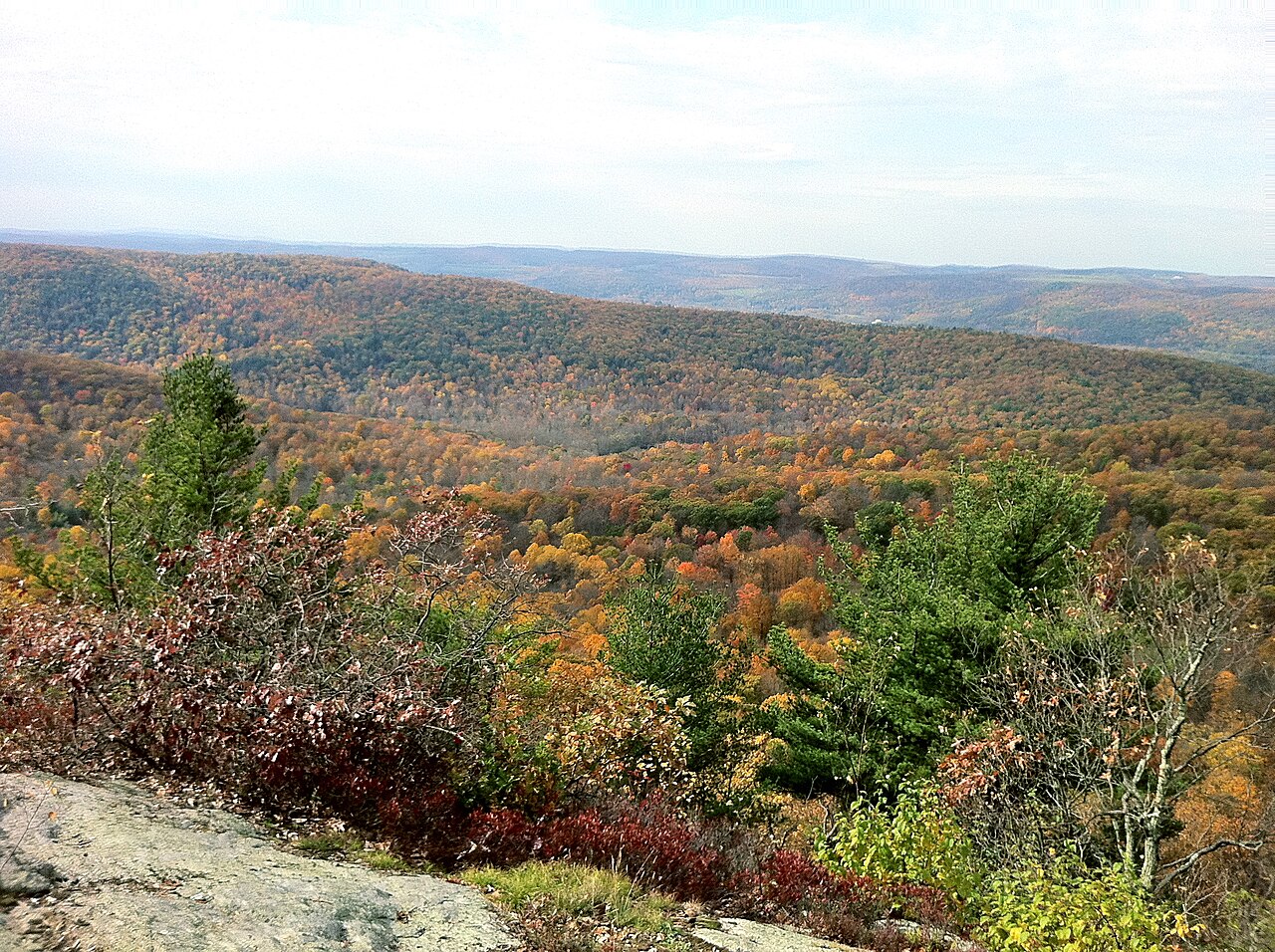
Choose Macedonia Brook for a strenuous northwest Connecticut ridge day with views toward the Taconic and Catskill mountains. The Blue Trail climbs Cobble Mountain and other high points; the park's more than ten miles of trails are a network total, not a prescribed Blue Trail mileage.
The route
The Blue Trail is the notable high-route option, with steep ascents, rocky terrain and several overlooks. Use the state map to select the full loop or a shorter segment and determine the exact mileage before you leave. Carry the map offline because the park warns of limited or no cell service.
Getting there
State Parks lists 159 Macedonia Brook Road in Kent and daily park hours from 8 a.m. to sunset. Identify your parking area and Blue Trail start on the official map. Do not use campground facilities as an assumed trailhead without checking the map.
Before you go
The park warns of very limited cell service. Bring water, plan a daylight return and expect the climb to feel more demanding than its mileage alone. Leashed pets are listed on hiking trails and picnic areas, while the campground does not permit pets.
Another choice
For a short waterfall visit nearby, Kent Falls is easier to schedule, though its steps trail is steep. Mohawk State Forest offers another northwest upland route with a different trail network.
Place and route information reviewed from CT State Parks on September 28, 2026. Conditions, fees and access may change after that date.
Open official trail source ↗Check Blue-Blazed notices ↗