Hours & conditions
Park grounds: daily, 8:00 a.m. to sunset (official park page). Hours source ↗
Notice review: The official park page lists regular access hours. No current whole-park closure notice was found on that page at review; this does not confirm live entry. Source ↗
Official sources checked 2026-11-22 08:15 EST. This is a dated review, not a live open/closed signal.
Research-based guide · no field visit claimed
Is this the right hike?
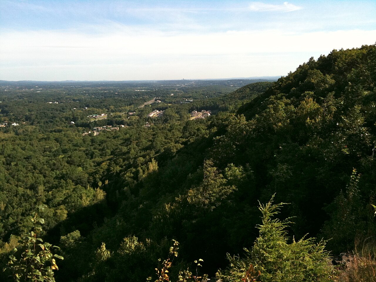
Choose Lamentation Mountain for traprock cliffs and overlooks with a quieter emphasis than the Chauncey Peak overlook. Its state-park land is walk-in only; the 3.7-mile figure on this site applies to a combined Chauncey–Lamentation loop, not every Lamentation outing.
The route
A portion of the blue-blazed Mattabesett Trail crosses this 47-acre park as part of the New England Trail. Use the current map to decide between a segment and the combined loop. Expect climbing and cliffside terrain, and note the nearby Chauncey Peak trail relocation if your chosen route uses both ridges.
Getting there
The state lists limited roadside parking near the Mattabesett Trail marker on Spruce Brook Road in Berlin, roughly half a mile east of Route 5. It also points hikers to Giuffrida Park, 800 Westfield Road, Meriden, where parking is more plentiful. There is no public vehicle access up the mountain.
Before you go
State Parks lists daily access from 8 a.m. to sunset and leashed pets. Confirm parking and the trail alignment before departure, especially if you plan the combined loop. The primitive New England Trail campsite has separate guidance and should not be assumed to be a state-park campground.
Another choice
For a shorter woodland network with the possibility of a skyline lookout, consider Case Mountain. For a similarly rocky linked ridge, pair this destination with Chauncey Peak only after checking the current route.
Place and route information reviewed from CT State Parks on September 28, 2026. Conditions, fees and access may change after that date.
Open official trail source ↗Additional route or notice ↗Check Blue-Blazed notices ↗