Hours & conditions
Dawn to dusk (Town of Manchester trail guide). Hours source ↗
Notice review: The Town trail guide lists dawn-to-dusk access. A live open/closed signal is not published in that guide; check local notices or posted signs. Source ↗
Official sources checked 2026-11-20 08:40 EST. This is a dated review, not a live open/closed signal.
Research-based guide · no field visit claimed
Is this the right hike?
Case Mountain is best when you want to assemble a woodland walk to suit your available time. The trail system exceeds ten miles, but that is the network total, not a single prescribed hike. Lookout Mountain is the viewpoint many visitors seek.
The route
CFPA describes interconnected trails across Case, Lookout and Birch mountains, with a connection to the blue-blazed Shenipsit Trail. The Lookout Mountain area has western hill and Hartford skyline views. Choose a loop on the town map and mark the junction where you will turn back; the route can be steep, rocky and uneven near the lookout.
Getting there
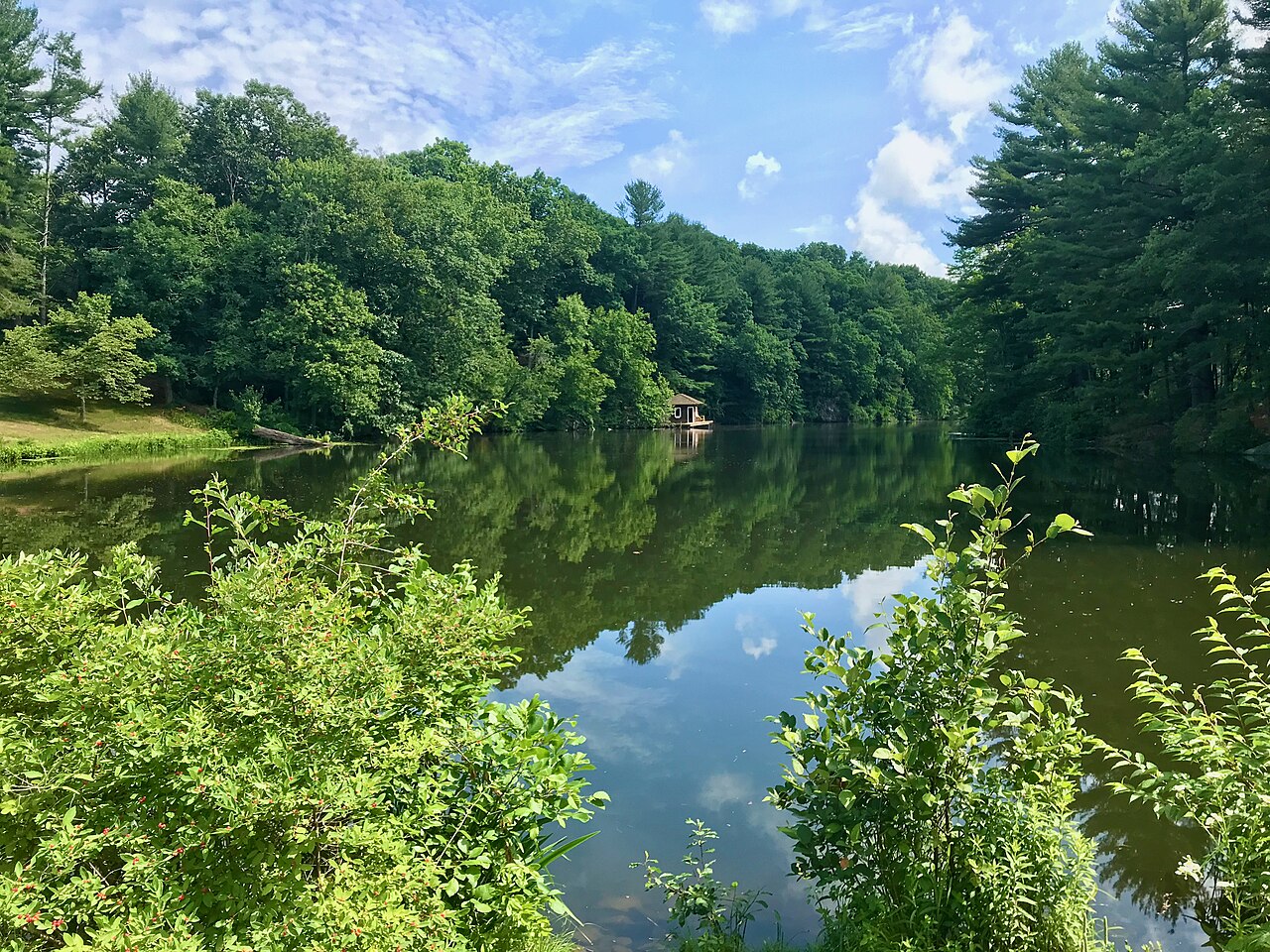
Manchester maintains a downloadable Case Mountain trail map. Select a trailhead from that map before driving, since there are multiple approaches. A town description uses the Spring Street area near Case Pond for a walk toward Lookout Mountain, but your exact mileage depends on the trailhead and loop.
Before you go
Use the town's latest map and CFPA trail information. Check Manchester's current park and dog rules if bringing a pet. The network's many crossings make a saved map useful, and a clear day improves the skyline view.
Another choice
For a signed ridge walk with a single destination and published mileage, Talcott Mountain's Tower Trail is a simpler planning choice. Penwood is another central Connecticut woodland ridge with multiple possible loops.
Place and route information reviewed from CFPA on September 28, 2026. Conditions, fees and access may change after that date.
Open official trail source ↗Additional route or notice ↗Check Blue-Blazed notices ↗