Hours & conditions
Park grounds: daily, 8:00 a.m. to sunset (official park page). Hours source ↗
Notice review: The official park page lists regular access hours. No current whole-park closure notice was found on that page at review; this does not confirm live entry. Source ↗
Official sources checked 2026-11-22 08:15 EST. This is a dated review, not a live open/closed signal.
Research-based guide · no field visit claimed
Is this the right hike?
Devil's Hopyard works as a short visit to Chapman Falls or a longer wooded hike. Keep those two plans separate: the waterfall can be a brief stop, while a trail loop depends on your route and the park map.
The route
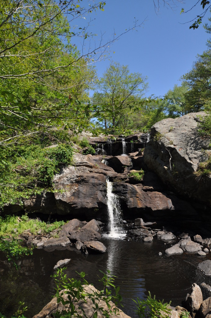
Chapman Falls and the stream's rock formations are the focal point. The park has additional trails, but the state does not give one standard mileage for every waterfall-plus-woods itinerary. Choose a marked route and turn-around from its current trail map; do not scramble onto slick rocks to improve the view.
Getting there
State Parks lists 366 Hopyard Road in East Haddam and daily hours from 8 a.m. to sunset. Check the park map to distinguish the falls access from longer walking routes. If you want to picnic, bring drinking water rather than relying on the park's non-potable water.
Before you go
Leashed dogs are listed as permitted on hiking trails and in picnic areas, but not at the campground. Watch footing near wet rock and stream edges. Confirm park notices and the map before leaving, especially after heavy rain.
Another choice
Kent Falls has a defined 0.84-mile steps trail along its waterfall; Wadsworth Falls offers a broader woodland network with separate falls areas.
Place and route information reviewed from CT State Parks on September 28, 2026. Conditions, fees and access may change after that date.
Open official trail source ↗Check Blue-Blazed notices ↗